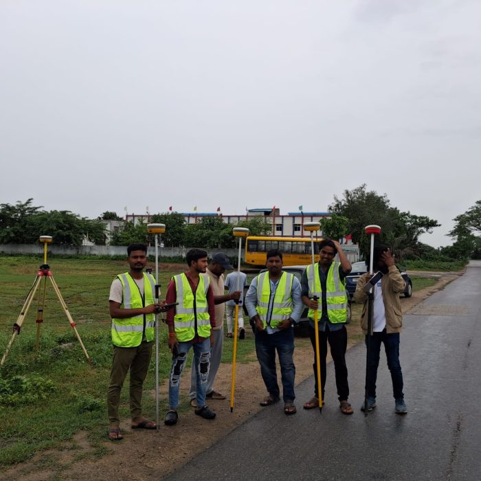
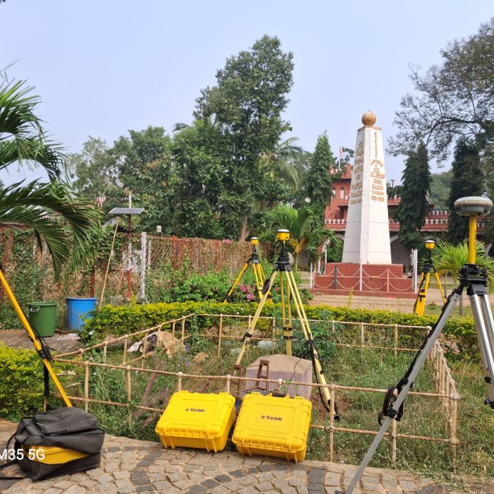
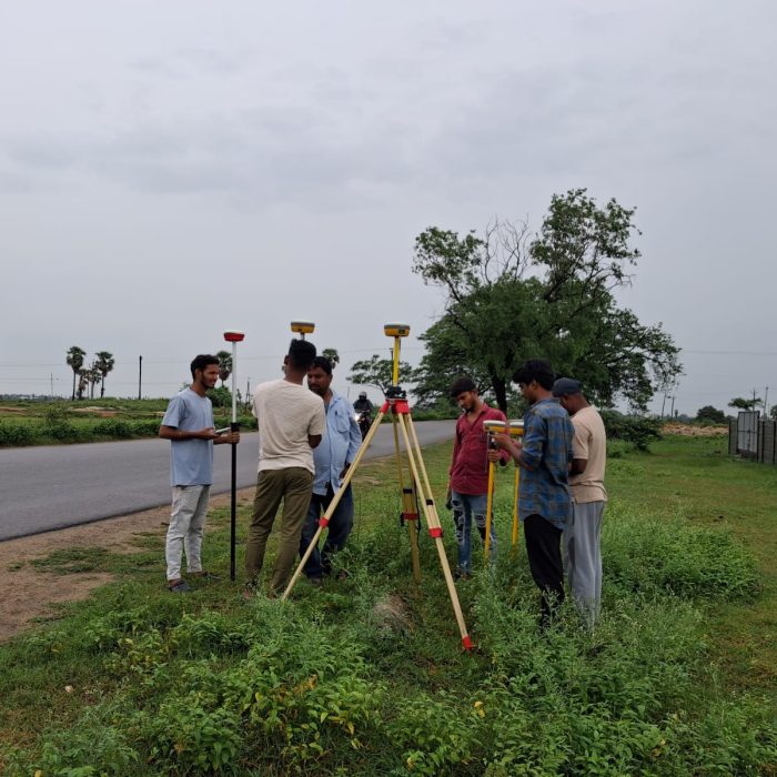
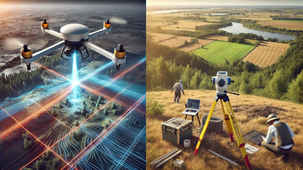
TerraOrbit provides precise, reliable, and accessible geospatial data. Our comprehensive services ensure efficient planning and operations, meeting diverse sectoral needs with advanced data acquisition and surveying solutions.

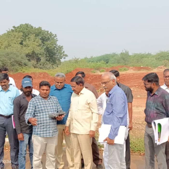
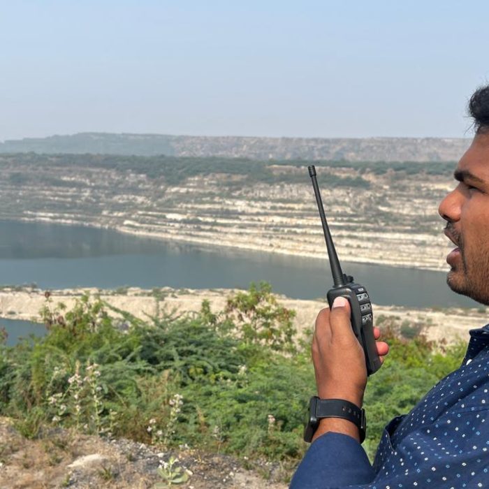
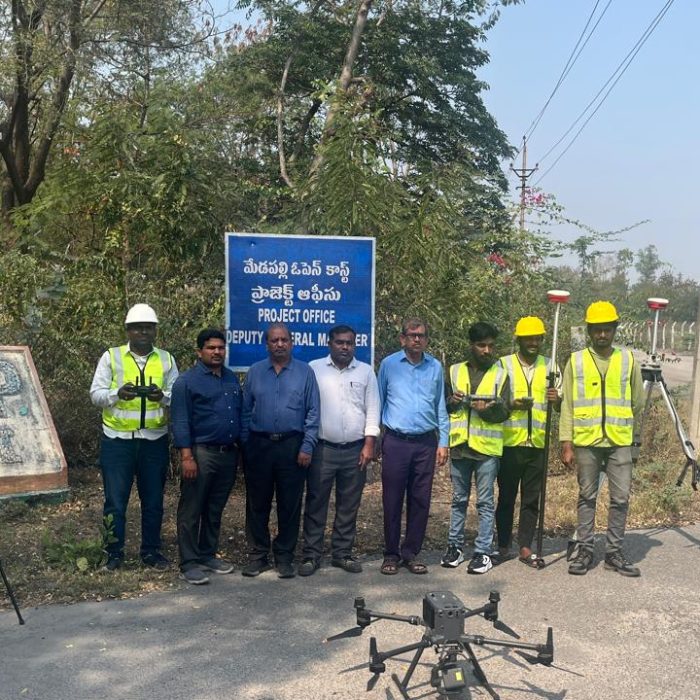
A Virtual 360° Tour is an interactive, immersive experience that lets users explore real-world locations digitally in a 360-degree view.
High-Accuracy Data: Obtain data accurate up to 2 cm, ensuring precision for all your projects.
Quality Output: Delivering results that support your project’s success from start to finish.
Fast Turnaround Time: Providing information exactly when you need it.
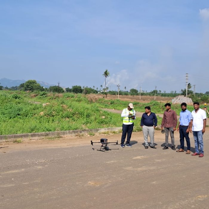
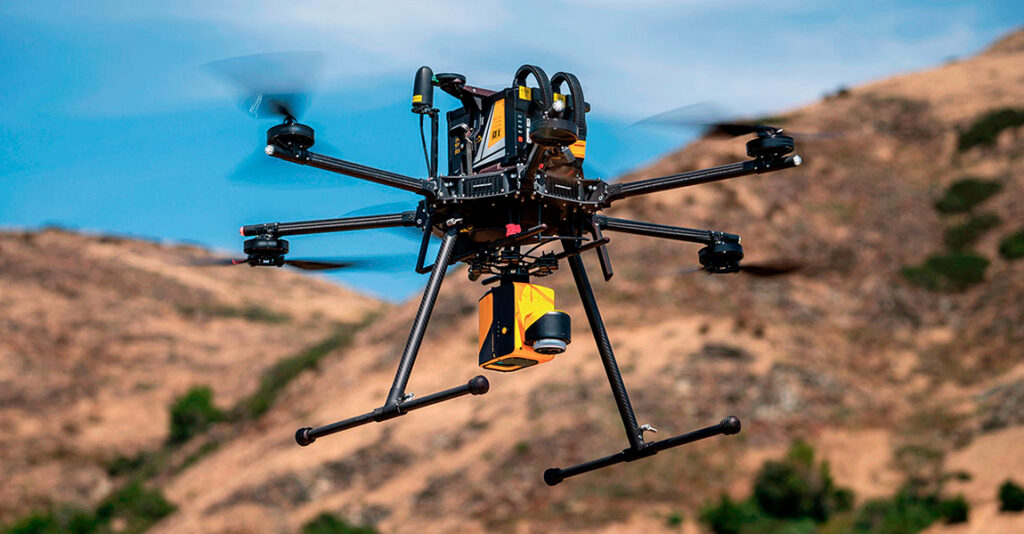
3D Models of Drone Images: Leverage drone data with 3D models for enhanced visualization and analysis.
Custom Applications: Develop enterprise solutions, web applications, and mobile applications tailored to your requirements.
End-to-End Geospatial Solutions: Offering a complete cycle of geospatial services, from inception to project completion.
Full Suite of Geospatial Services: Covering everything from surveying to aerial photography, photogrammetry, GIS, and map production.
High-Quality Data Processing: Utilizing unparalleled expertise in processing data from airborne digital sensors to deliver superior results.
Choose TerraOrbit for unmatched precision, reliability, and innovation. We combine advanced geospatial technologies with customized solutions to meet diverse client needs. Our fast turnaround times, high-quality outputs, and end-to-end services empower businesses to make informed decisions and achieve project success with ease.
Get in touch with us today to explore how TerraOrbit can support your projects with cutting-edge geospatial solutions.